Adolph neighborhood, Hermantown
I decided to head to the area where they plan to build the hyperscale data center and take some photos to show people what it’s like.
The overall biome is wetlands. Here’s a picture of what that looks like:
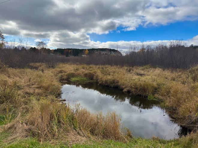
That’s from Morris Thomas road, just west of where they’re planning to have the entrance to the site. Here’s a view along Morris Thomas road, looking west:
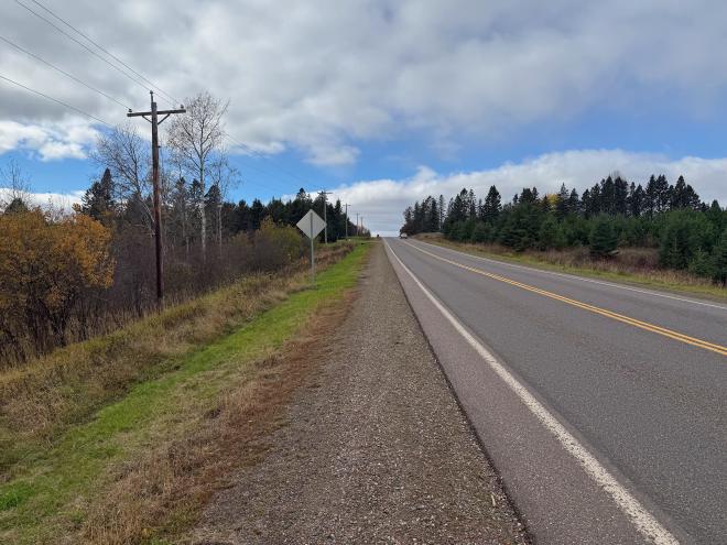
The plan is that on the left would be a security fence, then a wall, then two 50′ high windowless data center buildings.
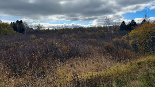
Here’s a view looking onto the area that’s planned to be cleared:
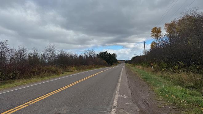
Morris Thomas Road looking east:
Looking north from St Louis River Road, following the overhead power lines to the substation:
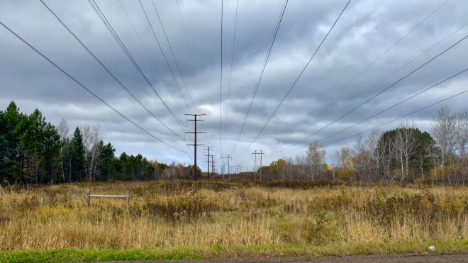
The plan calls for the preservation of the wetlands to the south near the Midway river. Here’s a photo of that area, about 1,000 feet south of the planned development:
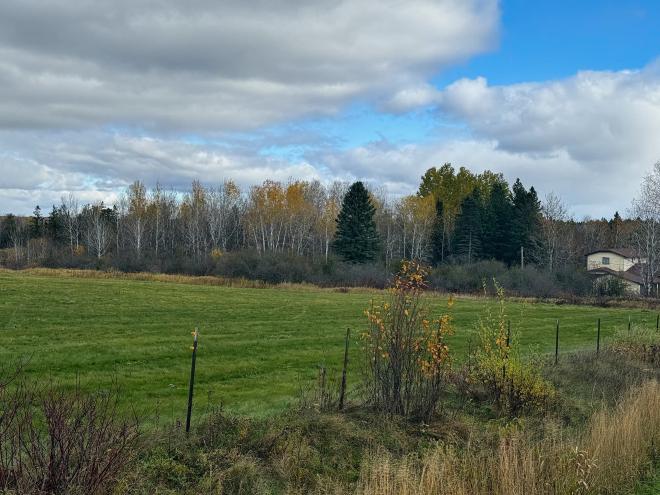
Here’s looking north from St Louis River Road at the forested area which would be cleared:
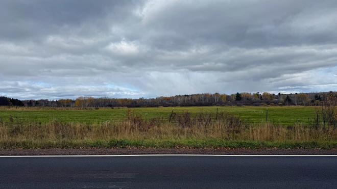
As far as commercial development, the north-east corner of the area, at Morris Thomas and Midway, looks like this:
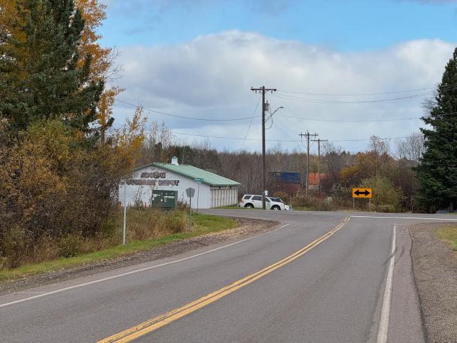
The containers are a goods train which happened to pass while I was there. A little north is the railway crossing, next to the Adolph store:
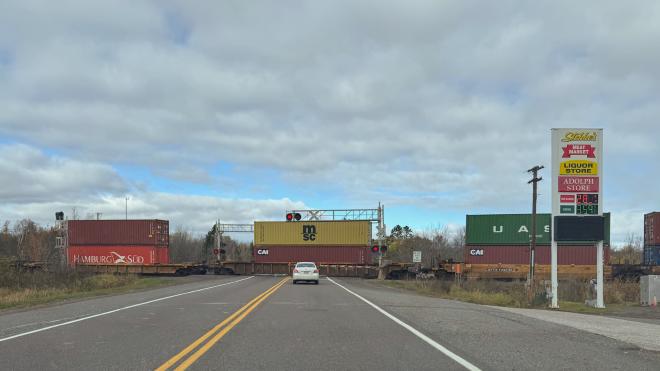
Trains are noisy, of course, but unlike data centers they aren’t noisy 24/7.
So this is a very rural area. There are a few houses set among the trees along each of the roads; I didn’t take photos out of consideration for people’s privacy. Many houses on the way there had “Stop the Data Center” signs in front.